| A Trip to the Southwest and the Plains November/December 2007 Little Rock — Page 2 |
On the Road to Little Rock
We took our time getting around because our destination was relatively close.
Once on the road it took only a short time to get to the state of Arkansas.
It was clear that we were entering new territory for us. The flatland had changed to gentle rolling hills covered with hardwood forests. I'm more familiar with the conifer forests of California. Even though most of the trees had lost their leaves as they went dormant for the winter, there still was a lacy quality to the bare branches.
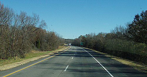 The leafless trees look somewhat like a bit of winter lace |
An exit information sign announced that the off-ramp would take a person to the Ozark National Forest and the Pig Trail Scenic Byway. This was our first time to drive into the Ozarks in our motorhome. As we continued on, the rolling hills became more predominate.
Another exit sign came into view that took me back in time to the 1960s. The sign was for the exit to Clarksville. This reminded me of the song called the Last Train to Clarksville performed by the Monkees.
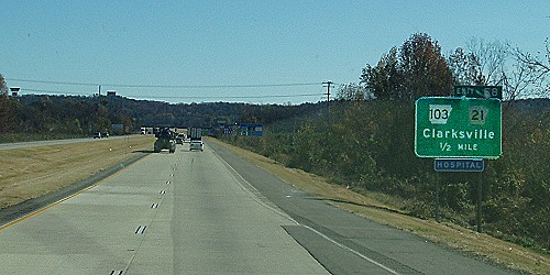 Could Clarksville, Arkansas be the town in the Monkees song? |
As the highway went winding through the hills, a plume of what looked like smoke appeared in the distance. As we got closer it became clear that what we were seeing was a very large column of steam. As we progressed toward the steam a body of water appeared close to the highway to the south. I would soon learn that the water was part of Lake Dardanelle.
After awhile the source of the steam could occasionally be seen between the hills and through the trees. The steam was coming from a very large cooling tower — the type used next to a nuclear power plant. I would find out later that this location has the only nuclear power plant site in Arkansas.
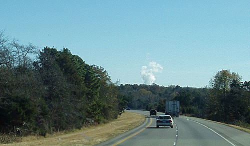 First thought to be smoke, it turned out to be steam from a nuclear power plant |
Russellville is where we stopped to refuel at a Flying J Travel Plaza. With a full fuel tank we began the last leg of this particular part of our trek to Little Rock. Our destination was a little more than an hour ahead of us so we would be getting to the campground during the daytime. About half of the campgrounds where we stayed, we came in daylight which I definitely prefer.
On this trip I've seen road signs that had humorous and unusual names. There was Zzyzx Road and Lotawatah Road close to a lake, but the funniest name by far was Toad Suck Road. That name appeared on a sign shortly before we reached Conway, Arkansas.
We enjoyed the scenery as our route took us deeper into the Ozarks. The time passed quickly, so we soon were looking for the exit from I-40 to the Burns RV Park. We had reservations to stay for four nights. When I made the reservations, I was told that Burns Park is the second largest municipal park in the United States.
The distance down the park road to the RV campground was a bit longer than I expected. When I found the park there were a lot of campsites available. There was a sign on the office door to choose a campsite and register later. There was a nice site near the entrance to the campground, however, we decided to check out the other sites before settling in.
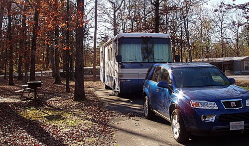 In camp early. this would be our home for the next four days |
I unhooked the car so Kay could drive around to look over the available location. We used two-way radios to communicate as she drove around the park. It was decided that the best location was the campsite near the entrance. This turned out to be a good decision because the roads are normally one way which meant that we didn't have to drive all the way around the park to get to and from our motorhome.
It was good to settle in early and just relax. It felt good to know we would be here for a few days. I kept busy on my computer while Kay watched a DVD video. This turned out to be a very quiet campground as a result of being a comfortable distance from the highway.
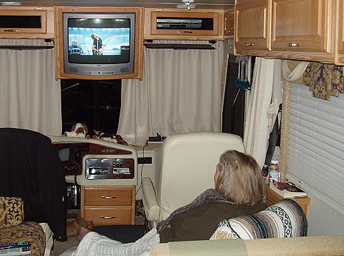 Kay kicked back and got comfortable for an evening watching TV |
| [ BEGIN ] | [ PREV ] | [ NEXT ] | [ RV FUN TRIPS ] |