| A Summer Road Trip to Wichita June/July 2005 Page 11 |
Day 11
Our day began somewhat earlier than normal so that we could begin our return to our home in California. The first stop for the day was at the grocery store to replenish our supplies before getting on the road. There is one thing I usually buy before getting on the road that has been a favorite from my childhood — deep fried okra. I usually get a box of fresh cooked okra to eat while we are on the road. Then I also get a few packages of frozen, breaded, ready-to-cook okra to take back to California. After the supplies were put away, it didn't take long for us to find our way the the freeway heading north. We decided that we would return to California with a slightly different route from the one taken to get to Wichita.
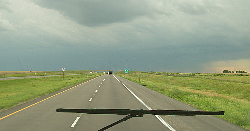
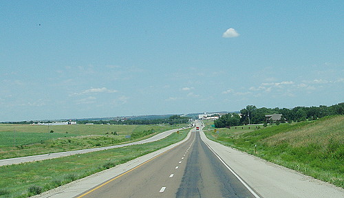 Here in the plains many of the roads are very straight |
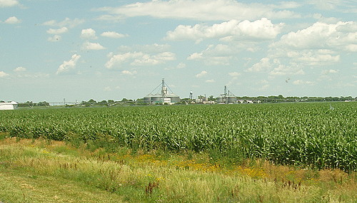 We've reached Nebraska corn country |
When we reached Salina and the junction of I-70, I continued north on U.S.81 toward Nebraska. The drive took us through corn country. The corn plants looked as if they are about half grown. It didn't seem like it took very long until we reached York, Nebraska where we turned west on I-80. At the junction of the two highway there is a water tower that is painted to look like a big hot-air balloon with the word "YORK" painted on it.
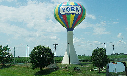 A very distinctive water tower |
As I drove along I-80 I saw a feature that had become a common sight on this trip. There was a pattern of marks on the highway that showed where a system of roadway hardware was installed in the road surface. I don't know what the devices are called, but they look somewhat like big staples that are embedded in the roadway at regular intervals. The spacing suggests that the devices strengthen the highway along the path used by tractor trailer big-rigs. The pattern, where the devices are inserted in the roadway, shows on retrofit jobs. I understand that, on new construction, the devices are covered by new paving so they will not show.
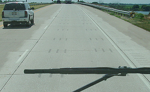 Roadway pattern shows where some sort of hardware is inserted across seams |
A little way down the highway we passed under The Great Platte River Road Archway Monument which spanned the entire I-80 highway at Kearney, Nebraska. This large colorful structure is a tribute to the pioneers who came this way on the Oregon Trail, Mormon Trail and the California Trail. These trails follow the Platte River for most of the distance in Nebraska. The structure is made to look like a very big covered bridge. We will have to come back when we have time to take a closer look at this monument.
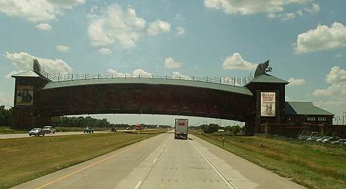 An interesting monument to American pioneers |
One reason we like to travel on I-80 through western Nebraska is to see the finger lakes that are located along this stretch of the Interstate. The lakes are artifacts the are left from the construction of the highway. When the highway was being built, sand was dredged from sand pits next to the highway right-of-way. The sand was used in the concrete used to pave the road surface. As the roadway move along new sand pits were used to get the sand needed.
When the highway was completed the sand pits were landscaped and most were turned in to recreation facilities. Another artifact is the string of campgrounds that are spaced along I-80. These campgrounds originated as places for the road crews to live while the Interstate highway was under construction. After the campgrounds were no longer needed for highway construction personnel the camps became part of the state's campground system. We've stayed in a couple of the campgrounds in the past and find them to be quite nice.
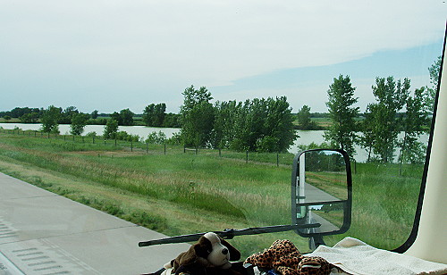
One of the many finger lakes next to I-80 in western
Nebraska |
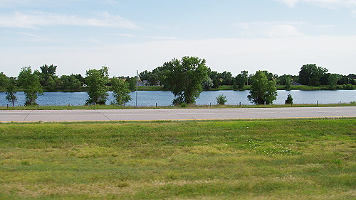 Another finger lake next to I-80 |
As we drove west, the sky darkened with storm clouds. It looked somewhat ominous when the highway changed direction enough to allow us to miss the storm. Again we saw a storm cell ahead of us and again the highway changed direction to where we received a small amount of rain from the edge of the storm. As we passed by to the north of the thunderstorm it looked very dark looking toward the center of the storm. occasionally there would be a flash of lightening followed by a clap of thunder.
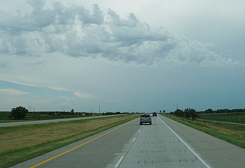 The weather turns stormy |
 At this point it looks as if we will be driving through s storm |
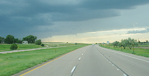 The highway routed us around the edge of storms |
After leaving the thunderstorm behind we decided to stop at a KOA in Kimball, Nebraska. This turned out to be a good idea as the campground is a nice one and we had a nice view looking out through the front of our motorhome. I turned on the TV to watch the evening news and right away there was a story about the storm that we had see a short time before. It seems that the thunder storm developed in Nebraska and moved toward the southeast. After crossing I-80 the storm grew stronger as it entered northeastern Colorado. At the peak of the storm four tornadoes were seen being spawned by the storm. I'm glad we missed that part of this weather event.
 Our place for the night near Kimbell, Nebraska |
 We had a very nice view at the Kimball KOA |
It was nice to be in our comfortable little cabin-on-the-road at the end of this day.
| [ SUMMARY ] | [ PREV ] | [ NEXT ] | [ RV FUN TRIPS ] |
If you have comments or suggestions, please contact the .
Copyright 2007, RVFunTrips.com. All rights reserved.