| A Summer Road Trip to Wichita June/July 2005 Page 4 |
Day 4
This morning was cold — 43 degrees F — compared to what we expected. We were on the road early and rolling east on I-80. In a short time we reached the highest point on I-80 which is marked with a rest stop — at exit 323 — that has a large bust of Abraham Lincoln. This is the Abraham Lincoln Memorial Monument that celebrates the old Lincoln Highway. The highway originally was U.S. Highway 30 in this area. Now I-80 follows much of the old US 30 route.
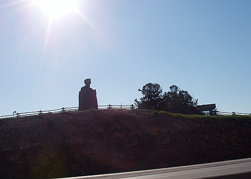 Silhouette of large bust of Lincoln can be seen across the freeway |
In a short time we were driving south on I-25 heading for Denver. This drive has a nice scenic feature that has the highway running parallel to the Colorado Rockies. This makes a nice backdrop for the green fields filled with critters of all sorts. In some places the prong-horned antelope were grazing in the fields as if they were domesticated animals.
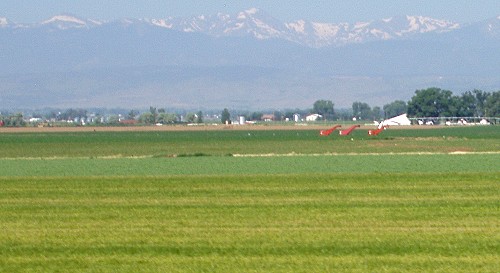 The Rocky Mountains are on our right side as we travel south on I-25 |
When looking at a map, I saw a highway that bypassed the city of Denver which I found appealing. When we arrived at the bypass I discovered that the bypass is a toll road. I figured it would be like the Kansas Turnpike, but I was wrong. The Kansas toll road is entered by going by a booth where an attendant hands the driver a ticket. Then the driver simply drives as far as they want and then goes through a toll booth where the ticket is surrendered to the attendant who tells you how much you owe for the trip.
On the Denver bypass I had to stop at a toll booth and pay $1.75 cents. Then I was on my way thinking that this was all it cost to drive on this toll road — wrong. No sooner than I settled in for the drive, up came another toll booth and another payout of $1.75. I asked the attendant how many more toll booths I would encounter before reaching I-70. She said only one more was ahead. So, the grand total to drive from I-25 to I-70 — to get around Denver — was $3.75. This seems a bit steep compared to what it costs to use the Kansas Turnpike.
At least we were now headed east toward Kansas. This part of Colorado is flat, very much like most of Kansas. On eastbound I-70 it almost seems as if you can see all the way to Kansas, however, it was a few hours until we would crossed into our home state.
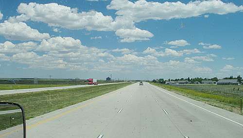 You can almost see Kansas from here |
When we reached the border, it was marked with a sign that said, "Leaving Colorful Colorado." Very quickly I noticed that Kansas appeared to be just as colorful as Colorado. The most exciting thing that happened here, was that we crossed into the Central Time Zone just east of Goodland, Kansas. This is a good thing because things can get very exciting around here during a thunderstorm. Once we reached Kansas it felt as if we were really getting close to Wichita.
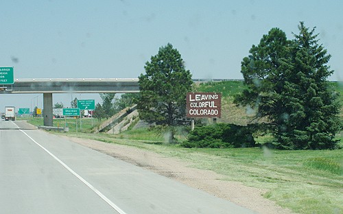 On the other side of the bridge is Colorful Kansas |
We made a stop at a roadside rest area on I-70 that is typical of the rest areas along this highway. They have a separate loop just for RVs where people are allowed to spend the night out of the way of the truck traffic through the rest area. A nice feature of these special RV loops is that they also have a dump station at one end.
Click on picture to view a larger version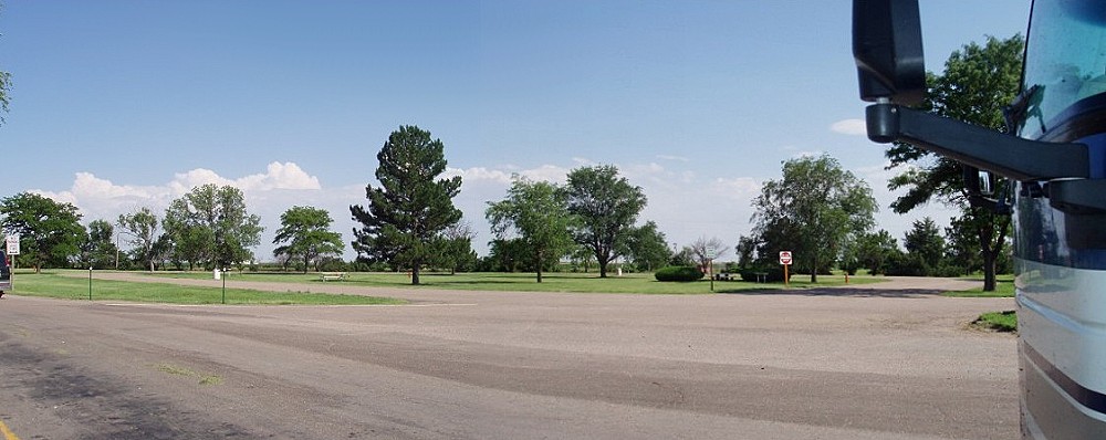 A special RV friendly loop at a rest area next to I-70 |
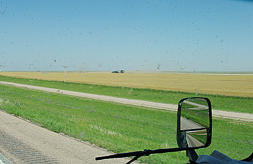
Along the way we saw a lot of farming activity from wheat being harvested to watching corn grow. With wheat harvesting going on in this part of the state — Northwest — wheat near Wichita has very likely already been harvested weeks ago. The corn crop appears to have a while to go before it is ready to harvest.
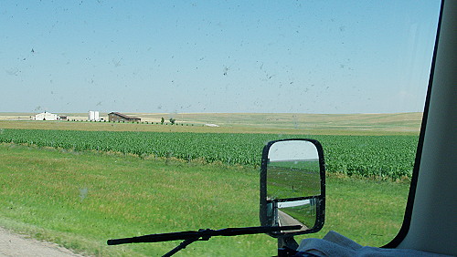 A view of corn growing as seen through a bug splattered windshield |
 Harvesting begins in this field of wheat |
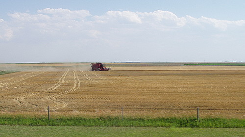 Nearly all of the wheat in this field has been harvested |
We planned to find a place to spend the night in Salina, but first I wanted to refuel the motorhome so we could get underway the next morning without delay. As luck would have it, there is a Flying J located near the same exit — the first exit east of the junction of i-70 and I-135 — as the one for the Salina KOA. So this worked out very well for us. The price of fuel here is lower than what it cost us when we left California, however, the price is still higher than I would like.
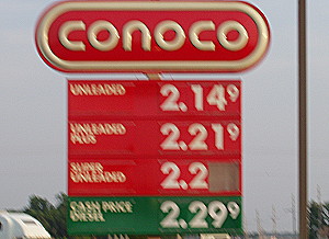 At least it is cheaper than in California |
As we drove out into the plains a crosswind picked up and pestered us all the way from Goodland to our stop for the night in Salina, Kansas — number 4 on the Summary map. Even with the stiff breeze, it was very warm in Kansas. We found out that we had driven through an area where the high temperature was 104 degrees F. Here in camp the temperature at 10:00 o'clock at night is still nearly 90 — yuck. The good news is that there is a cold front about to come though. The temperatures are supposed to plummet to 92 over the next four days.
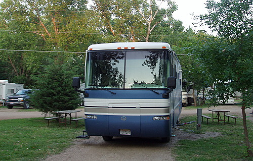 Our home for the night — a warm night outside |
| [ SUMMARY ] | [ PREV ] | [ NEXT ] | [ RV FUN TRIPS ] |
If you have comments or suggestions, please contact the .
Copyright 2007, RVFunTrips.com. All rights reserved.